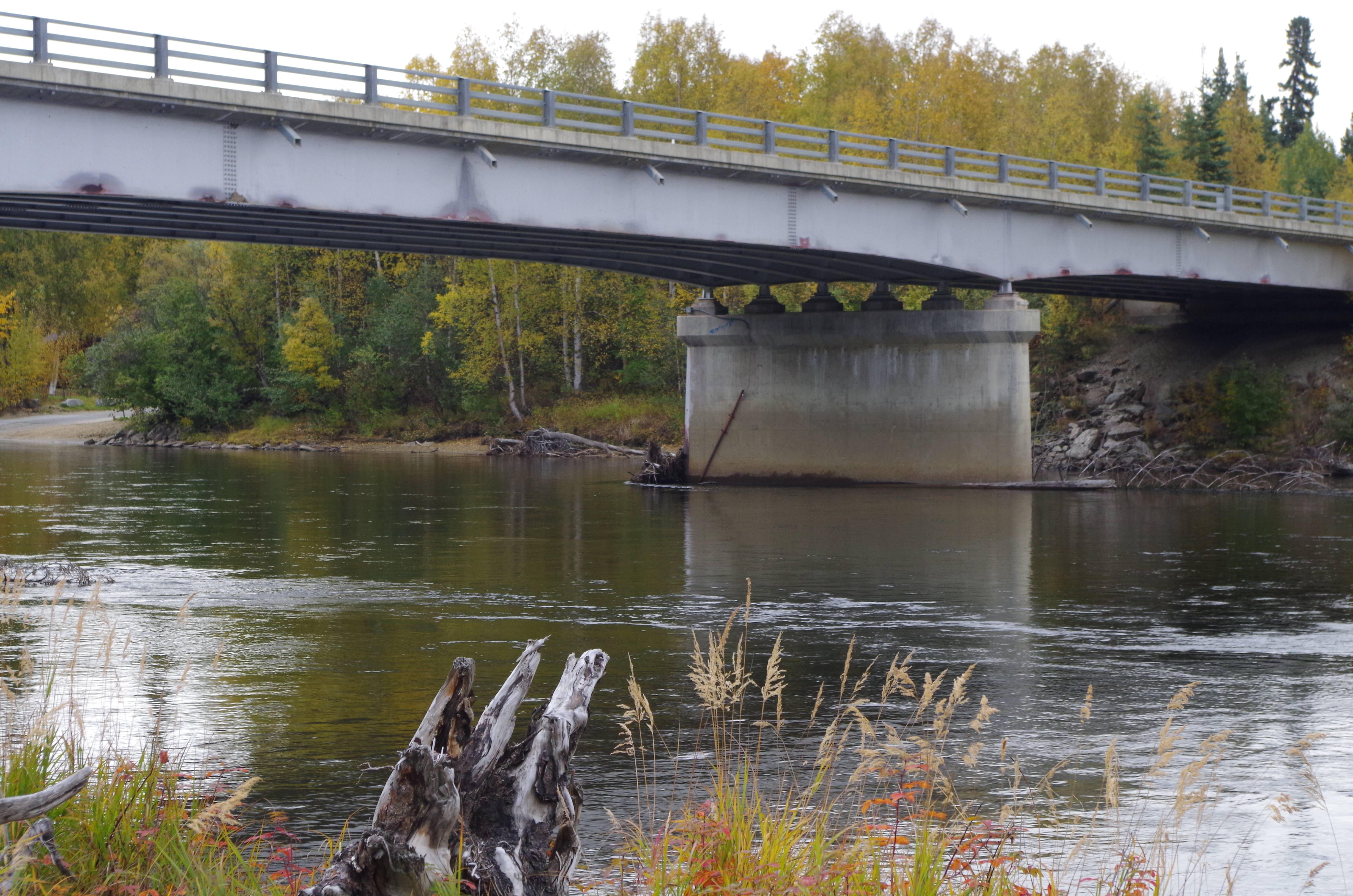
Salcha River near Salchaket BN 527
Sites
Soundings
Bridge Photos
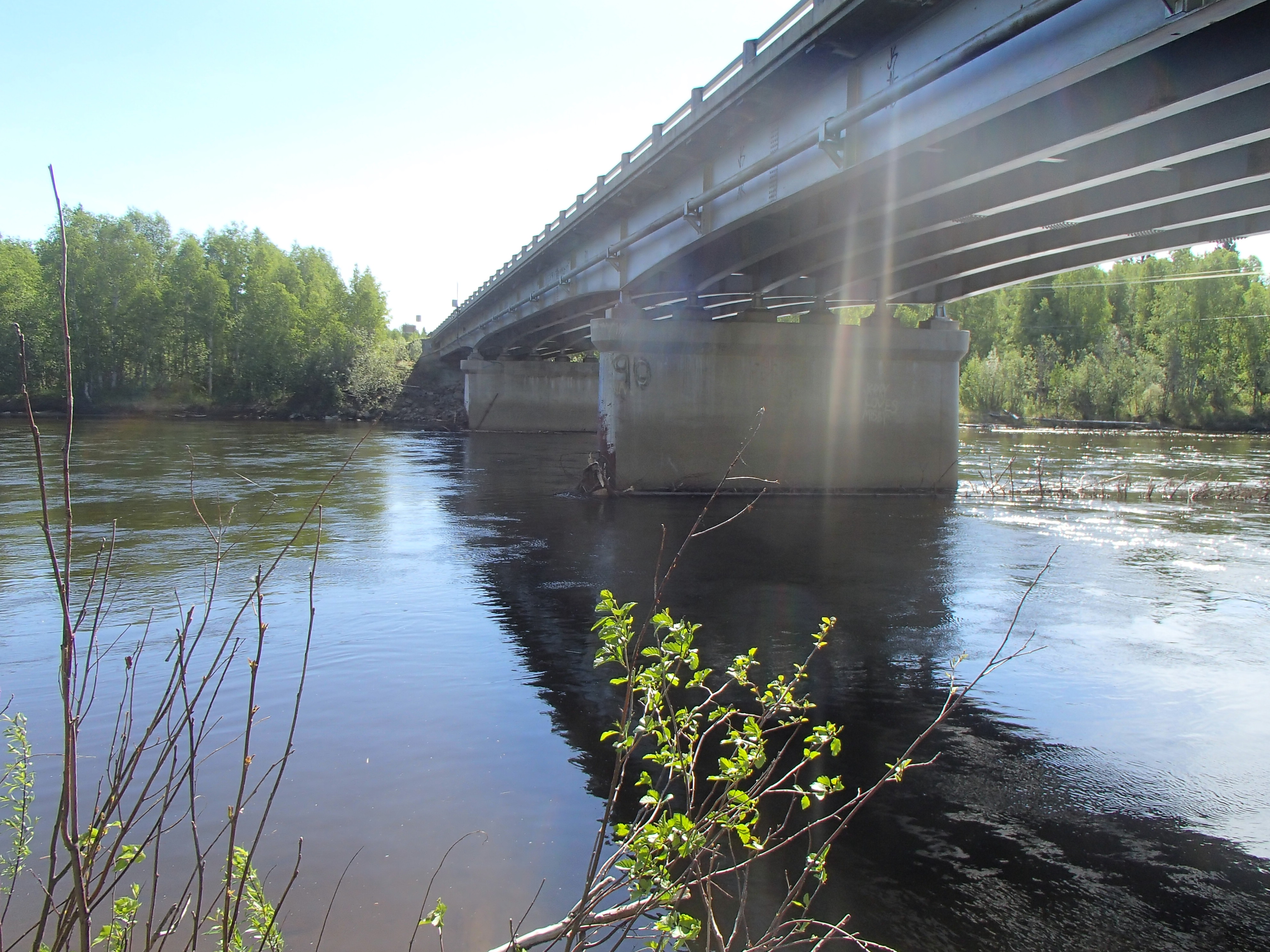 Salcha River bridge near Salchaket |
 Salcha River sonar near Salchaket |
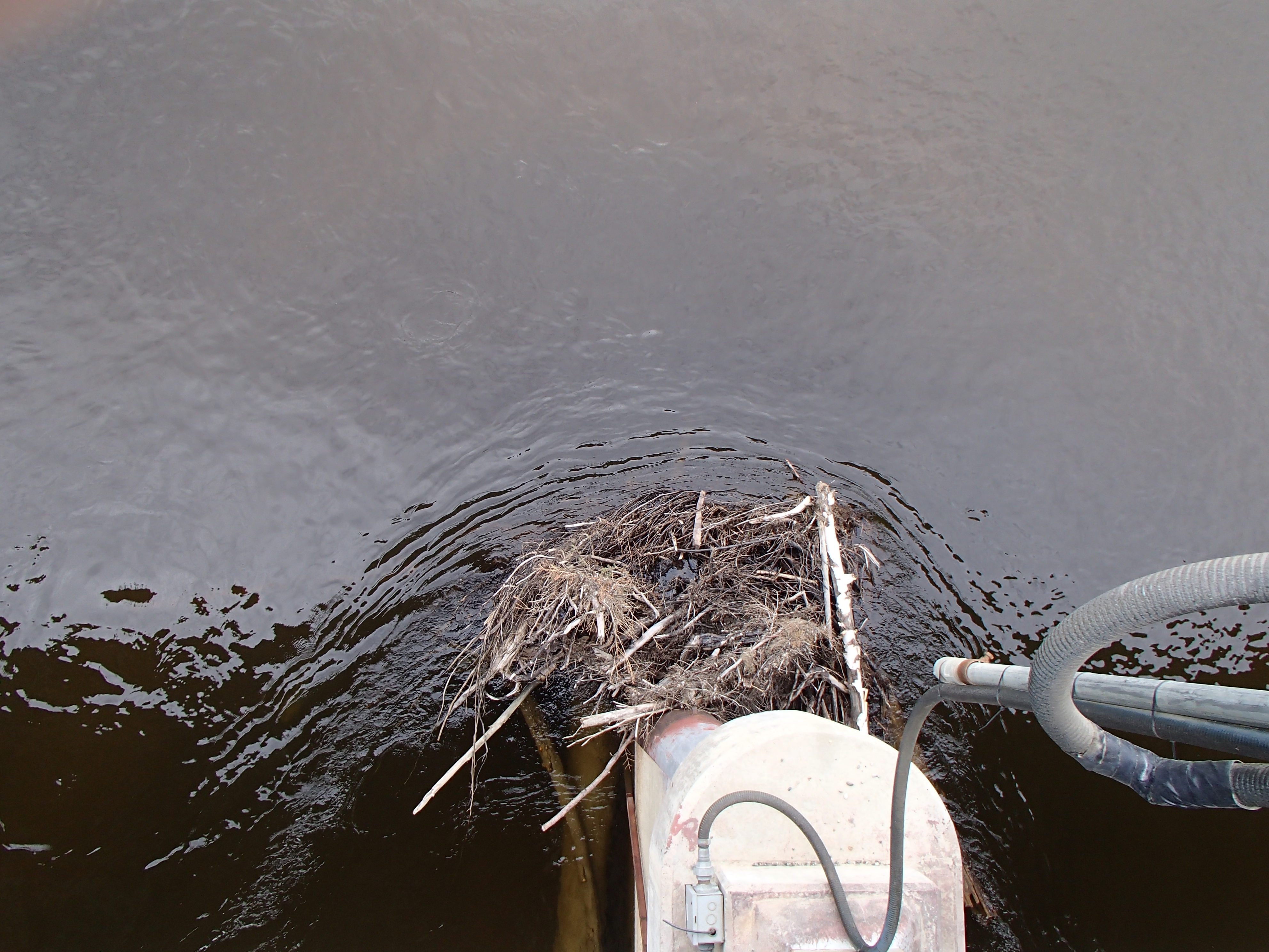 Salcha River debris near Salchaket |