Campbell Creek at C St near Anchorage
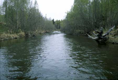
Campbell Creek at C Street, looking upstream near beginning of transect.
Habitat Photo Image Map
Click on a transect number to see habitat photos for that transect.
![]()
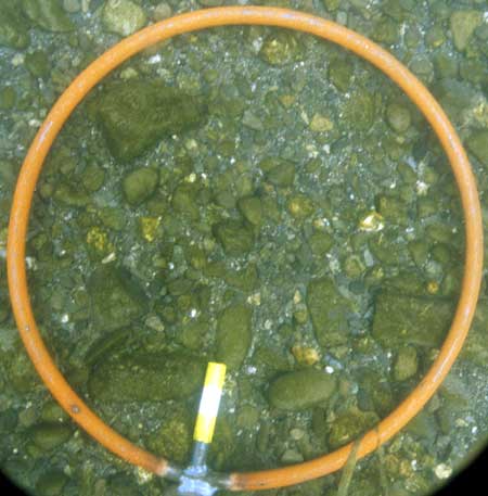
Example of the bed material at the site. Graphical analysis of bed sediment percent fines is also available.
Sediment Photo Image Map
Click on a transect number to see sediment photos for that transect.
![]()
Site Information
This site is part of the Urban Gradient Synoptic. There is one reach (C) in this site. The reach length is approximately 150 meters.
LOCATION - Lat 61° 08`55"", long 149° 53`03"" in NE1/4 SW1/4 NW1/4 sec. 7, T. 12 N., R. 3 W. (Anchorage A-8 quad), Municipality of Anchorage, 150 ft upstream from C Street Bridge, 0.8 mi downstream from Little Campbell Creek, and 5.1 mi south of Anchorage.
DRAINAGE AREA - 65.8 sq. mi.