Rabbit Creek at East 140th Ave. near Anchorage
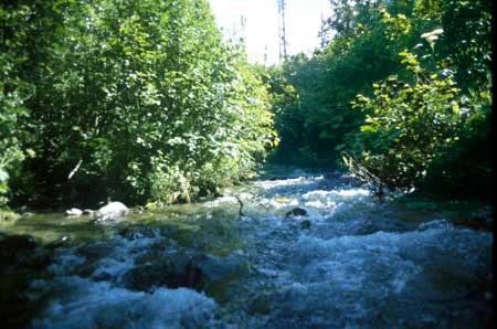
Rabbit Creek at E. 140th looking upstream from middle of reach.
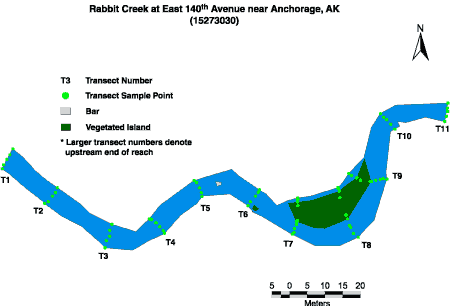
Habitat Photo Image Map
Click on a transect number to see habitat photos for that transect.
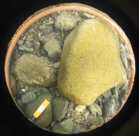
Example of bed sediment at the site. Graphical analysis of bed sediment percent fines is also available.
Sediment Photo Image Map
Click on a transect number to see sediment photos for that transect.
Site Information
This site is part of the Urban Gradient Synoptic. There is one reach (C) in this site. The reach length is approximately 150 meters.
LOCATION - Lat 61° 05`41", long 149° 47`14" in NE1/4 NE1/4 NW1/4 sec. 34, T. 12 N., R. 3 W. (Anchorage A-8 quad), Municipality of Anchorage, 100 ft downstream from East 140th Avenue, 2.2 mi upstream from Potter Marsh, 9.4 mi south of Anchorage.
DRAINAGE AREA - 11.9 sq. mi.