Kenai River below Skilak Lake Outlet near Sterling

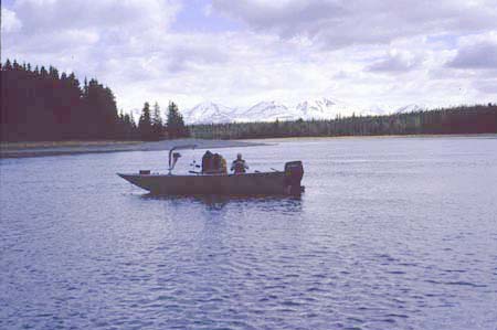
Kenai River below Skilak Lake outlet. USGS scientists taking water quality and discharge measurements from sampling boat.
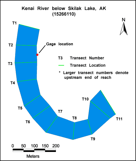
Habitat Photo Image Map
Click on a transect number to see habitat photos for that transect.


Example of the bed material at the site.
Site Information
NAWQA REACH
This site is part of NAWQA's Basic Fixed Site Network. There is one reach (C) in this site. The reach length is approximately 1 km.
GAGING STATION
LOCATION.-- Lat 60deg.28min.00sec., long 150deg.35min.56sec., in SW1/4 NW1/4 sec.01, T.4N., R.8 W. (Kenai B-2 quad), Kenai Peninsula Borough, Hydrologic Unit 19020302, on right bank, 3.5 mi downstream from Skilak Lake, 7 mi southeast of Sterling.
DRAINAGE AREA.-- 1,253 mi2.
PERIOD OF RECORD.-- June 1997 to current year.
GAGE.-- Water stage recorder. Elevation of gage is 240 ft above sea level from topographic map.
REMARKS.-- Records good except for estimated daily discharges, which are poor. Rain gage recorder at station, daily values of precipitation available from the computer files of the Alaska District. GOES satellite telemetry and phone modem at station.

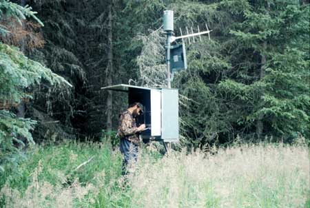
View of water stage recorder
