Kenai River at Jim's Landing near Cooper Landing
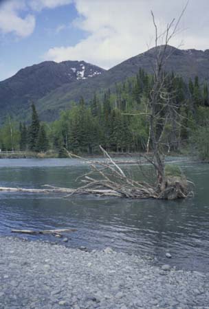
Kenai River at Jim's Landing looking across river from left bank near upper end of reach.
Site Information
|
Because of the federal government shutdown, www.usgs.gov is not being updated and the agency will not be able to respond to inquiries until appropriations are enacted. For more information please visit: https://www.doi.gov/shutdown
Kenai River at Jim's Landing looking across river from left bank near upper end of reach.
|