Johnson River above Lateral Glacier near Tuxedni Bay
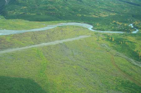
Aerial view to east of NAWQA ecology reach at Johnson River above Lateral Glacier near Tuxedni Bay. Reach encompasses the relatively straight section of river near the end of the runway to the right of the photo. Downstream is to the right.
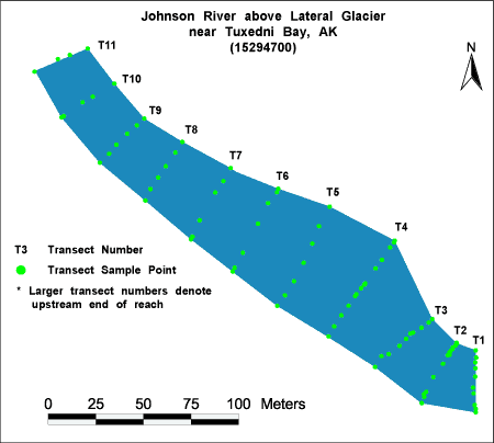
Habitat Photo Image Map
Click on a transect number to see habitat photos for that transect.
Site Information
NAWQA REACH
There is one reach (C) at this site. The reach is approximately 300 meters in length, and is located at the gage site. This is the only Cook Inlet NAWQA reach which has an entirely glacial origin.
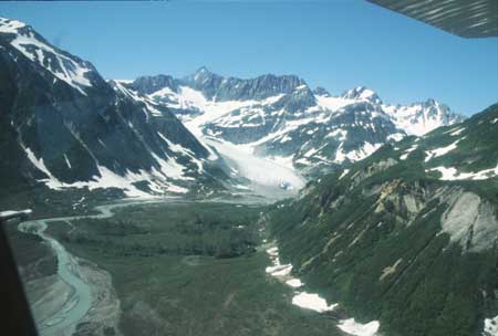
Aerial view looking upstream, from just upstream of the reach location. Double Glacier is straight ahead, Johnson Glacier is just out of view to the right of the photo.
GAGING STATION
LOCATION.--Lat 60deg.05min.41sec., long 152deg.54min.38sec., in SW1/4 NW1/4 NW1/4 sec.16, T.1S., R.21W. (Kenai A-8 quad), Kenai Peninsula Borough, Hydrologic Unit 19020602, on the right bank about 20 mi upstream from mouth, 10 mi south of Tuxedni Bay, and 60 mi northeast of Iliamna.
DRAINAGE AREA.--24.7 mi2.
PERIOD OF RECORD.--July 1995 to current year (no winter record).
GAGE.--Water-stage recorder. Elevation of gage is 450 ft above sea level, from topographic map. July 1995 to June 1996, at site 300 ft downstream at same datum.
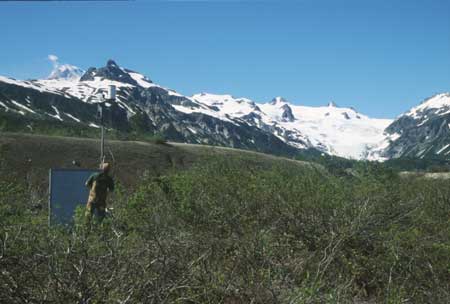
Water stage recorder at Johnson River.

Spring at the Johnson River gage.