Moose Creek near Palmer
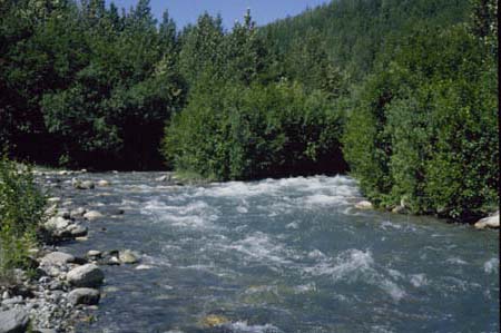
Moose Creek near Palmer looking upstream. Photo taken near old railroad bridge at end of Buffalo Mine Road.
Site Information
NAWQA REACH
UNDER CONSTRUCTION
GAGING STATION
LOCATION.--Lat 61deg.41min.00sec., long 149deg.02min.36sec., in NE1/4 NE1/4 sec.02, T.18 N., R.2 E.(Anchorage C-6 quad), Hydrologic Unit 19020402, on right bank 0.2 mi upstream of Glenn Highway bridge over Moose Ck, 1.0 mi upstream from mouth and 6.5 mi north of Palmer, Alaska.
DRAINAGE AREA.--47.9 mi2.
PERIOD OF RECORD.--April 1999 to current year.
GAGE.--Water-stage recorder. Elevation of gage is 480 ft above sea level, from topographic map.
REMARKS.--Records good except for estimated daily discharges, which are poor.