Chester Creek at Arctic Boulevard at Anchorage
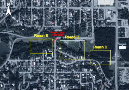
Satellite image of Chester Creek at Arctic Boulevard looking north. Reach C is the primary reach in this multiple reach site. Reach B is farthest downstream. Water-stage recorder location on south bank shown in red.
Click on a reach to see information relating to that reach.
IKONOS satellite imagery aquired in August, 2000 by Space Imagery, Thornton, CO
Site Information
NAWQA REACH
This site is part of NAWQA's Basic Fixed Site Network. There are 3 reaches within the site - D (upstream most), C, and B (downstream most). C reach is the gage reach. Each reach is approximately 150 meters long and separated from the adjacent reaches by 150 meters. This is also a Cook Inlet NAWQA synoptic reach.
GAGING STATION
LOCATION.--Lat 61deg.12min.19sec., long 149deg.53min.43sec., on line between sec. 19, R. 3 W., and sec. 24, R. 4 W., T. 13 N., (Anchorage A-8 quad), Hydrologic Unit 19020401, on left bank 50 ft. downstream of bridge on Arctic Boulevard in Anchorage and 0.8 mi. upstream from mouth.
DRAINAGE AREA.--27.2 mi2.
PERIOD OF RECORD.--June 1966 to Apr.1986, July 1987 to Sept. 1993, and Oct. 1998 to current year.
REVISED RECORDS.--WRD Alaska 1972: Drainage area. WDR AK-82-1: 1979(M), 1981(M).
GAGE.--Water-stage-recorder. Datum of gage is 16.02 ft. above sea level (from USGS&CG, datum of 1968). Prior to May 25, 1988, at site 100 ft. upstream at same datum.
REMARKS.--Record is good except for estimated record, which is poor.
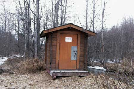
Water stage recorder at Reach D