Kenai River at Soldotna
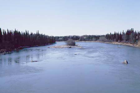
Kenai River at Soldotna, looking downstream towards island near middle of reach.
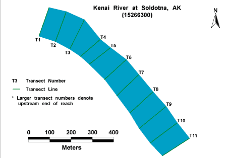
Habitat Photo Image Map
Click on a transect number to see habitat photos for that transect.
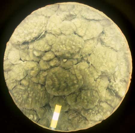
Example of the bed material at the site.
Site Information
NAWQA REACH
This site is part of NAWQA's Basic Fixed Site Network. There is one reach (C) in this site. The reach length is approximately 1 km.
GAGING STATION
LOCATION.--Lat 60deg.28min.39sec., long 151deg.04min.46sec., in W1/2 SW1/4 sec. 32, T.5N., R.10W. (Kenai B-3 quad), Kenai Peninsula Borough, Hydrologic Unit 19020302, near center of span on downstream side of bridge on Sterling Highway, 1.0 mi southwest of Soldotna.
DRAINAGE AREA.--2,010 mi2.
PERIOD OF RECORD.--May 1965 to current year.
GAGE.--Water-stage recorder. Datum of gage is 35.34 ft above sea level. Prior to May 1, 1997, non-recording gage at same site and datum.
REMARKS.--Records good, except for estimated daily discharges, which are poor. GOES satellite telemetry and phone modem at station.