Southern Beaufort Sea Polar Bear (2014) GPS Tracking Maps and Data Visualizations
Return to USGS ASC Wildlife Tracking Collection >> S. Beaufort Sea Polar Bear (2014) GPS Data
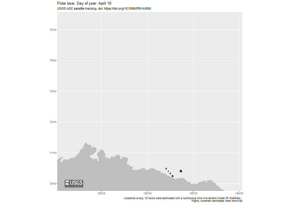
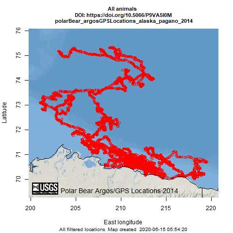
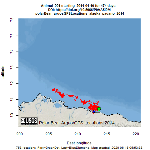
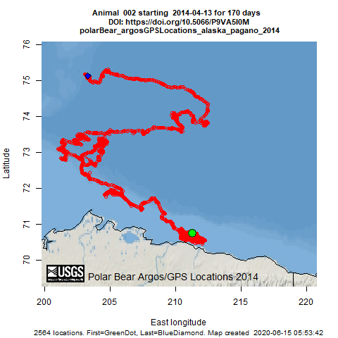
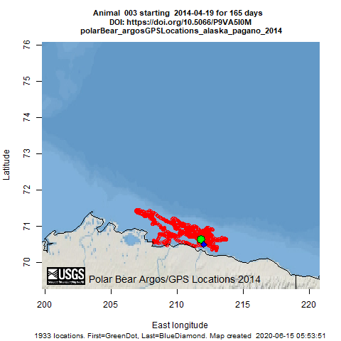
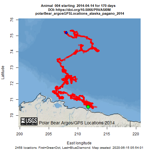
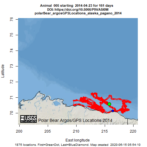
Available here are data from 5 adult female polar bears instrumented in the southern Beaufort Sea, April to October 2014. The dataset is comprised of two data packages: 1) GPS and Argos locations collected by satellite-linked GPS receivers mounted on external collars, and 2) archival logger data including measures of tri-axial acceleration and conductivity. These data were collected to gain insights into the movement patterns, behaviors, and energetics of adult female polar bears in the southern Beaufort Sea.
Note: These maps serve only as a depiction of the geographic content of the specific data provided and may be inappropriate for inferences and interpretation outside the intent of the original study. For example, maps may portray only certain ages, sexes, limited numbers of animals or variable tracking duration and start times that may limit inference for other questions. Users are advised to read the publication(s) and data set metadata associated with these maps to understand appropriate use and data limitations.